home
rubrieken
top 60
contact
faq
zoeken
NL
EN
account
wenslijst
Filter
Taal
Engels (2)
Latin (1)
Prijs
Up To €10 (0)
€ 10 Tot € 20 (0)
€ 20 Tot € 50 (3)
€ 50 En Meer (0)
Auteur
Roper, Dan (2)
Ruiter, Peter De (1)
Verschijningsdatum
2016 (2)
2012 (1)
Bindwijze
Overig (3)
Resultaat
Prijs Hoog - Laag
Prijs Laag - Hoog
Titel A-Z
Titel Z-A
Verschijningsdatum
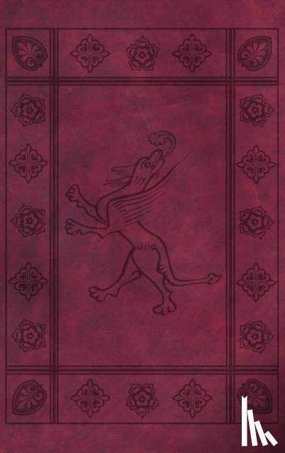
Hardback
Roper, Dan
Medieval Book Of Psalms
€ 46.60
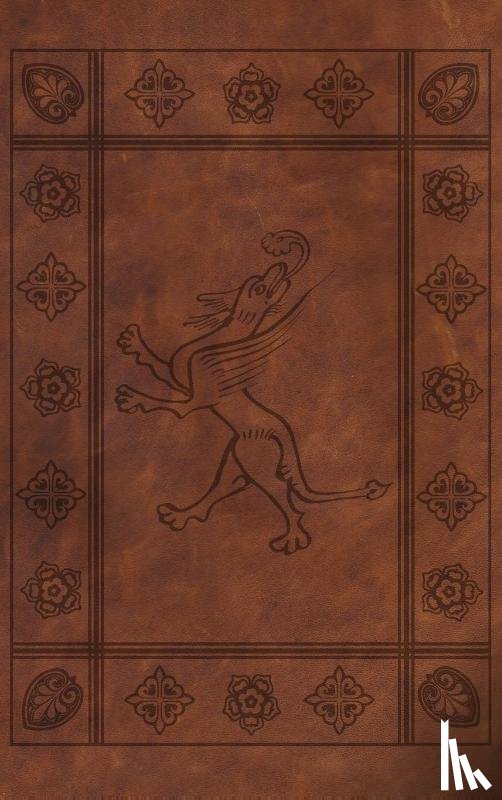
Hardback
Roper, Dan
Medieval Psalter (Latin)
€ 46.60
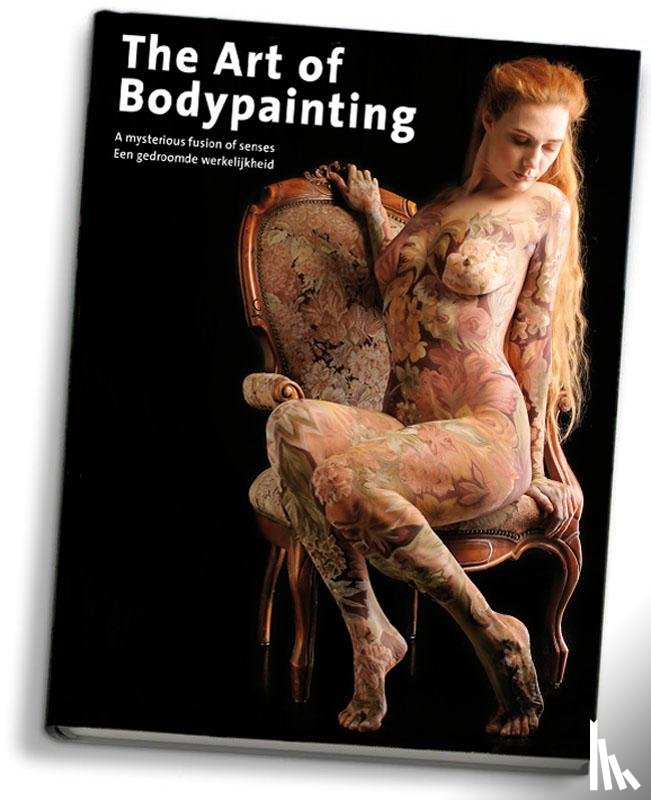
Hardback
Ruiter, Peter de
The art of bodypainting
€ 36.20
Zoeken