home
rubrieken
top 60
contact
faq
zoeken
NL
EN
account
wenslijst
Filter
Taal
Engels (11)
Nederlands (3)
Duits (2)
Prijs
Up To €10 (0)
€ 10 Tot € 20 (3)
€ 20 Tot € 50 (12)
€ 50 En Meer (1)
Auteur
Cole, Maggie (2)
Holland, Sam (2)
Kingseed, Cole C. (1)
Miller, Judith Fitzgerald (1)
Cole, Marjorie Kowalski (1)
Verschijningsdatum
2025 (3)
2024 (2)
2023 (1)
2022 (2)
2021 (3)
Bindwijze
Paperback / Softback (8)
Gebonden (4)
Overig (16)
Resultaat
Prijs Hoog - Laag
Prijs Laag - Hoog
Titel A-Z
Titel Z-A
Verschijningsdatum
Paperback
Kingseed, Cole C.
Conversations with Major Dick Winters
€ 24.10
Hardback
Miller, Judith Fitzgerald
Coping fördern, Machtlosigkeit überwinden
€ 64.50
Paperback
Cole, Marjorie Kowalski
Correcting the Landscape
€ 21.60
Paperback
Cole, Briana
Couples Wanted
€ 25.70
Hardback
Cole, Penelope
Crochet for Beginners
€ 39.20
Paperback
St. John, Poppy
Cruel Dominion
€ 29.10
Paperback
Cole, Maggie
Cruel enforcer
€ 21.99
Paperback
Cole, Maggie
Cruel Enforcer
€ 30.10
Paperback
Curious Plays
€ 35.90
Hardback
Daniela - Das Buch
€ 42.10
Paperback
Cole, Paul Louis
Daring: A Call to Courageous Manhood
€ 26.40
Paperback
Hayle, Olivia
Dark Eyed Devil
€ 29.10
Hardback
Rilke, Rainer Maria, Baer, Ulrich
Dark Interval
€ 27.60
Paperback
Cole, Kresley
Day Zero
€ 17.65
Paperback
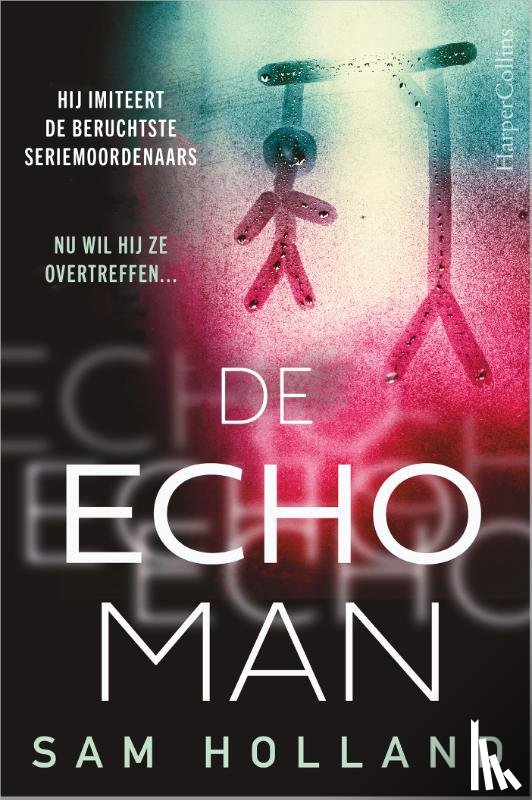
Holland, Sam
De 20
€ 15.00
Paperback
Holland, Sam
De Echoman
€ 15.99
Pagina: 10 van de 50
Begin
9
11
Laatste
Zoeken