home
rubrieken
top 60
contact
faq
zoeken
NL
EN
account
wenslijst
Filter
Taal
Engels (8)
Prijs
Up To €10 (0)
€ 10 Tot € 20 (0)
€ 20 Tot € 50 (8)
€ 50 En Meer (0)
Auteur
Philip's Maps (5)
Horsley, Jasun (1)
Ellefson, Randy (1)
Collins Maps (1)
Verschijningsdatum
2024 (1)
2023 (3)
2022 (3)
2020 (1)
Bindwijze
Paperback / Softback (19)
Gebonden (1)
Overig (8)
Resultaat
Prijs Hoog - Laag
Prijs Laag - Hoog
Titel A-Z
Titel Z-A
Verschijningsdatum
Paperback
Horsley, Jasun
16 Maps of Hell
€ 43.80
Paperback
Ellefson, Randy
185 Tips on World Building
€ 20.10
BE
Philip's Maps
2023 Philip's Big Road Atlas Europe
€ 27.80
BE
Philip's Maps
2023 Philip's Easy to Read Multiscale Road Atlas Europe
€ 27.50
BE
Philip's Maps
2023 Philip's Road Atlas Britain and Ireland
€ 27.50
BE
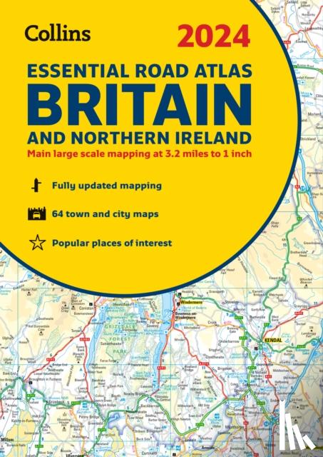
Collins Maps
2024 Collins Essential Road Atlas Britain and Northern Ireland
€ 27.10
BE
Philip's Maps
2024 Philip's Big Road Atlas Britain & Ireland
€ 25.55
BE
Philip's Maps
2024 Philip's Road Atlas Britain and Ireland
€ 28.20
Pagina: 2 van de 144
Begin
3
Laatste
Zoeken