home
rubrieken
top 60
contact
faq
zoeken
NL
EN
account
wenslijst
Filter
Taal
Engels (12)
Nederlands (1)
Prijs
Up To €10 (0)
€ 10 Tot € 20 (1)
€ 20 Tot € 50 (12)
€ 50 En Meer (0)
Auteur
Beckett, Simon (1)
Cole, Bill (1)
Hoskyns, Barney (1)
Cole, Brett (1)
Mccarthy, Cormac (1)
Verschijningsdatum
2023 (1)
2022 (1)
2020 (1)
2019 (2)
2015 (1)
Bindwijze
Paperback / Softback (12)
Gebonden (3)
Overig (13)
Resultaat
Prijs Hoog - Laag
Prijs Laag - Hoog
Titel A-Z
Titel Z-A
Verschijningsdatum
Paperback
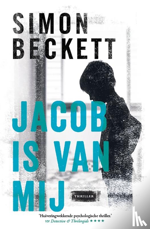
Beckett, Simon
Jacob is van mij
€ 24.99
Paperback
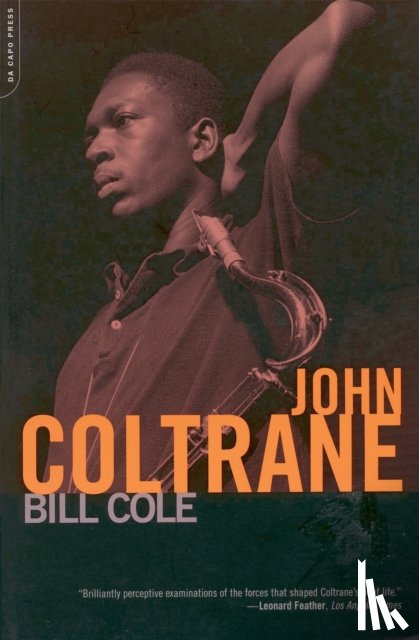
Cole, Bill
John Coltrane
€ 27.30
Hardback
Hoskyns, Barney
LED ZEPPELIN
€ 48.50
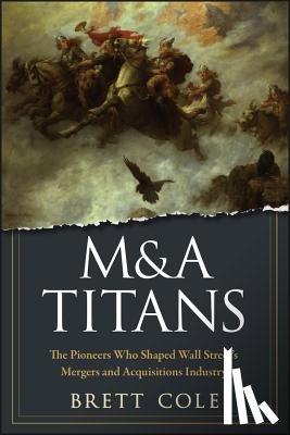
Hardback
Cole, Brett
M&A Titans
€ 35.80
Paperback
McCarthy, Cormac
McCarthy, C: Cities of the Plain
€ 20.40
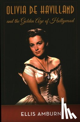
Paperback
Amburn, Ellis
Olivia de Havilland and the Golden Age of Hollywood
€ 28.30
Hardback
Cole, Neil
Organic Church
€ 30.00
Hardback
Haddon, Cole
Psalms For The End Of The World
€ 33.00
Paperback
Stonestreet, John, Smith, Warren Cole, Daly, Jim
Restoring All Things – God`s Audacious Plan to Change the World through Everyday People
€ 27.60
Paperback
Laws, Stephen, Probert, John Llewellyn, Cole, Adrian, Clark, Simon
Shadmocks & Shivers
€ 24.70
Paperback
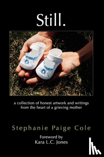
Cole, Stephanie Paige
Still
€ 17.05
Paperback
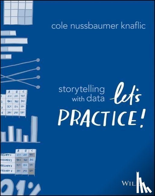
Nussbaumer Knaflic, Cole
Storytelling with Data
€ 42.20
Paperback
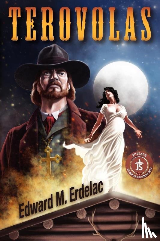
Erdelac, Edward M
Terovolas
€ 21.50
Pagina: 2 van de 3
Begin
3
Laatste
Zoeken