A Oxfordshire 1611 - 1836 - Fold Up Map that features a collection of Four Historic Maps, John Speed's County Map 1611, Johan Blaeu's County Map of 1648, Thomas Moules County Map of 1836 and a Plan of Oxford 1836 by Thomas Moule. The maps also featu
€ 26.50
Paperback
Kaufman, Daniel, Kaufman, Alex
A Paddler's Guide to the Little Miami River
€ 21.50
Paperback
McClure, Tori Murden
A Pearl in the Storm
€ 23.90
Paperback
Orlando Figes
A People's Tragedy: the Russian Revolution:1891-1924
€ 37.70
Paperback
Banks, Russell
A Permanent Member of the Family
€ 23.80
Paperback
Haynes-Sutton, Ann, Rey-Millet, Yves-Jacques, Downer, Audrey, Sutton, Robert
A Photographic Guide to the Birds of Jamaica
€ 50.30
Paperback
Brierley, John
A Pilgrim's Guide to the Camino De Santiago
€ 32.00
Paperback
Falkenstein, Jim, Falkenstein, Freya
A Run In Griffith Park
€ 29.10
Paperback
Rimbaud, Arthur
A Season in Hell & Illuminations
€ 23.80
Paperback
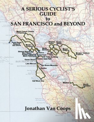
Coops, Jonathan van
A Serious Cyclists Guide to San Francisco and Beyond
€ 39.20
Paperback
Andelman, David A.
A Shattered Peace: Versailles 1919 and the Price We Pay Today
€ 25.70
Paperback
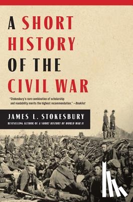
Stokesbury, James L.
A Short History of the Civil War
€ 27.30
Paperback
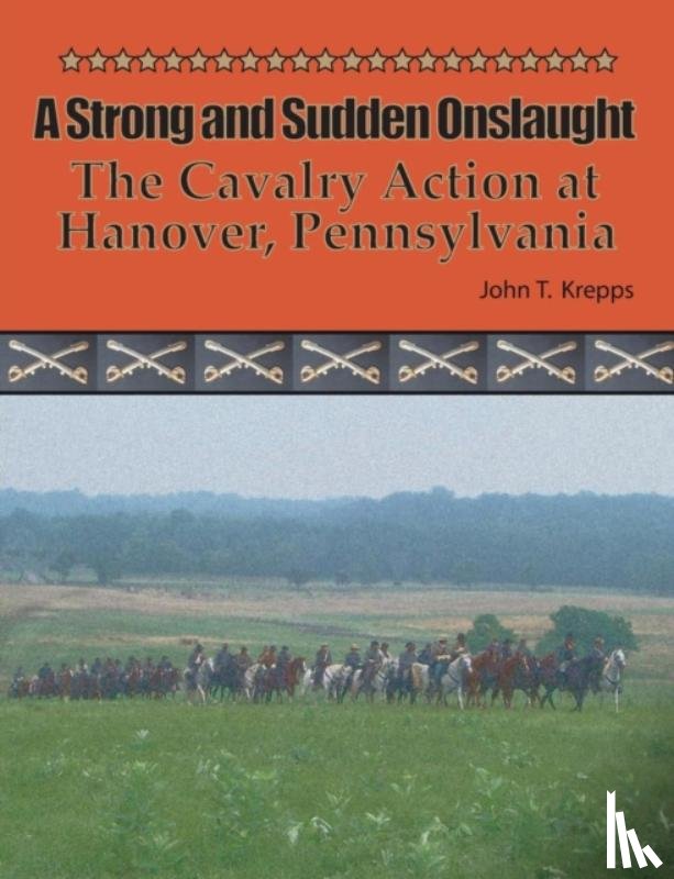
Krepps, John T
A Strong and Sudden Onslaught
€ 29.10
Paperback
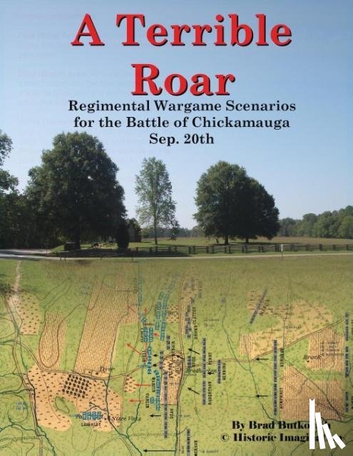
Butkovich, Brad
A Terrible Roar
€ 29.60
Paperback
Birch, Bruce C., Fretheim, Terence E., Brueggemann, Walter