home
rubrieken
top 60
contact
faq
zoeken
NL
EN
account
wenslijst
Filter
Taal
Engels (6)
Prijs
Up To €10 (0)
€ 10 Tot € 20 (1)
€ 20 Tot € 50 (5)
€ 50 En Meer (0)
Auteur
Trilling, Bernie, Fadel, Charles (1)
Bonnett, Alastair (1)
Publishing, Aa (1)
Verschijningsdatum
2026 (1)
2023 (4)
2012 (1)
Bindwijze
Paperback / Softback (6)
Gebonden (1)
Overig (21)
Resultaat
Prijs Hoog - Laag
Prijs Laag - Hoog
Titel A-Z
Titel Z-A
Verschijningsdatum
Paperback / softback
Trilling, Bernie, Fadel, Charles
21st Century Skills
€ 24.55
Paperback / softback
Bonnett, Alastair
40 Maps That Will Change How You See the World
€ 20.20
Paperback / softback
50 Walks in Cornwall
€ 20.60
Paperback / softback
50 Walks in Dorset
€ 20.60
Paperback / softback
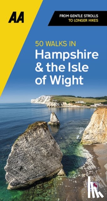
50 Walks in Hampshire & IOW
€ 20.60
Paperback / softback
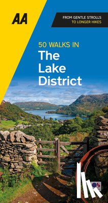
Publishing, Aa
50 Walks in Lake District
€ 15.70
Pagina: 4 van de 147
Begin
3
5
Laatste
Zoeken