home
rubrieken
top 60
contact
faq
zoeken
NL
EN
account
wenslijst
Filter
Taal
Engels (14)
Prijs
Up To €10 (0)
€ 10 Tot € 20 (14)
€ 20 Tot € 50 (13)
€ 50 En Meer (1)
Auteur
Ordnance Survey (4)
Channer, Nick (2)
Ordnance Survey Leisure Limited, Moore, Dr Gareth (1)
Davison, Steve (1)
Verschijningsdatum
2024 (1)
2021 (2)
2019 (2)
2018 (2)
2017 (3)
Bindwijze
Paperback / Softback (4)
Overig (10)
Resultaat
Prijs Hoog - Laag
Prijs Laag - Hoog
Titel A-Z
Titel Z-A
Verschijningsdatum
Topografische kaarten
The English Lakes South-Western Area
€ 19.95
Paperback / softback
Channer, Nick
The Home Counties from London by Train
€ 19.95
Topografische kaarten
The Long Mynd & Wenlock Edge
€ 19.95
Paperback / softback
Channer, Nick
The Malverns to Warwickshire
€ 19.95
Topografische kaarten
The Mournes
€ 19.95
Topografische kaarten
The National Forest
€ 19.95
Paperback / softback
Ordnance Survey Leisure Limited, Moore, Dr Gareth
The Ordnance Survey Kids' Adventure Book
€ 19.95
Topografische kaarten
The Peak District
€ 19.95
Paperback / softback
Davison, Steve
The Ridgeway Map Booklet
€ 13.20
Topografische kaarten
Ordnance Survey
The Solent & the Isle of Wight, Southampton & Portsmouth
€ 19.95
Topografische kaarten
Ordnance Survey
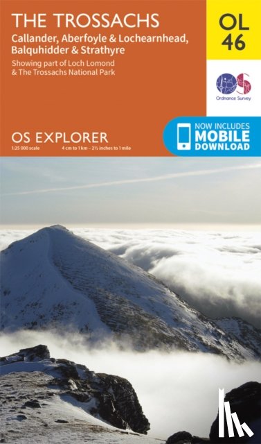
The Trossachs, Callander, Aberfoyle & Lochearnhead, Balquhidder & Strathyre
€ 19.95
Topografische kaarten
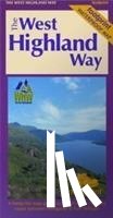
The West Highland Way (Footprint Map)
€ 19.95
Topografische kaarten
Ordnance Survey
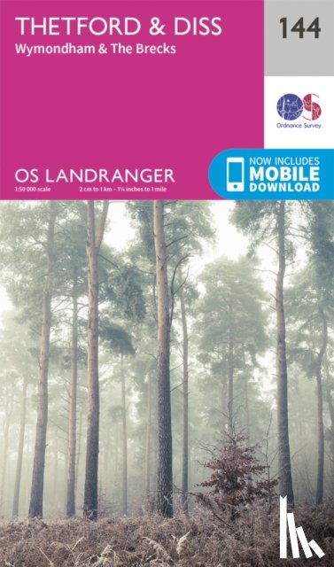
Thetford & Diss, Breckland & Wymondham
€ 19.95
Topografische kaarten
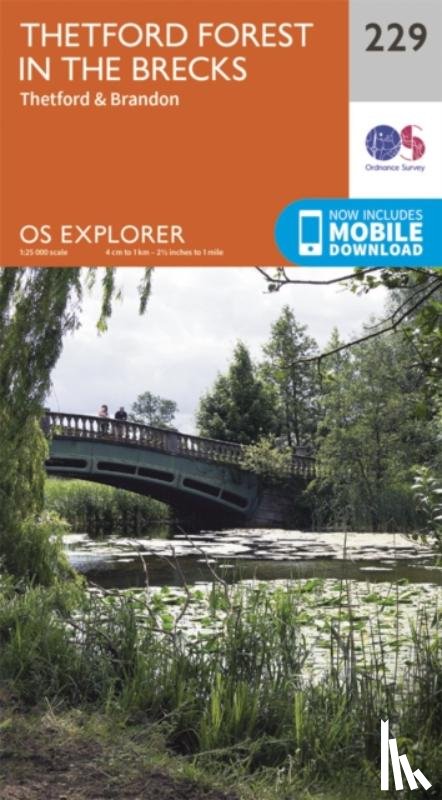
Ordnance Survey
Thetford Forest in the Brecks
€ 19.95
Pagina: 51 van de 56
Begin
50
52
Laatste
Zoeken