home
rubrieken
top 60
contact
faq
zoeken
NL
EN
account
wenslijst
Filter
Taal
Engels (14)
Prijs
Up To €10 (0)
€ 10 Tot € 20 (7)
€ 20 Tot € 50 (14)
€ 50 En Meer (7)
Auteur
De Maeyer, Bram (1)
Stevens, Mark (1)
Selth, Andrew (griffith Asia Institute At Griffith University Australia) (1)
Carthy, Hugh (1)
Emmerson, Paul (1)
Verschijningsdatum
2025 (1)
2024 (2)
2023 (1)
2022 (1)
2020 (2)
Bindwijze
Paperback / Softback (4)
Overig (10)
Resultaat
Prijs Hoog - Laag
Prijs Laag - Hoog
Titel A-Z
Titel Z-A
Verschijningsdatum
Paperback
De Maeyer, Bram
Building for Belgium
€ 48.60
Topografische kaarten
Bulgarian Romanian Black-Seacoast Road Map 1:150 000
€ 20.40
Paperback
Stevens, Mark
Buried by the Roan
€ 22.20
Paperback / softback
Selth, Andrew
Burma's Armed Forces
€ 31.00
Paperback / softback
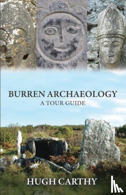
Carthy, Hugh
Burren Archaeology
€ 22.55
Paperback
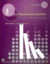
Emmerson, Paul
Business Vocabulary Builder
€ 49.40
Paperback / softback
Buzan, Tony
Buzan's Study Skills
€ 21.30
Paperback / softback
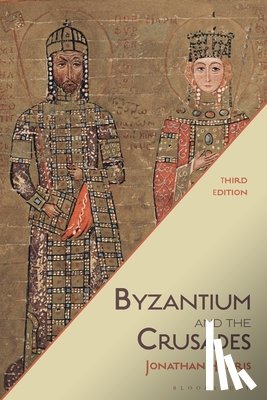
Harris, Dr Jonathan (Royal Holloway
Byzantium and the Crusades
€ 42.25
Paperback
Powell, A. Michael
Cacti of Texas: A Field Guide, with Emphasis on the Trans-Pecos Species
€ 29.00
Paperback
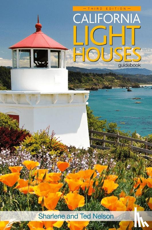
Nelson, Sharlene, Nelson, Ted
California Lighthouses
€ 32.50
BE
Benchmark Maps
California Road and Recreation Atlas
€ 37.30
Paperback
Middendorf, Michael P, Schuler, Mark
Called by the Gospel
€ 46.60
Paperback
Hayes, Dave
Calm Before The Storm
€ 22.80
Topografische kaarten
Cambodia Map
€ 20.60
Pagina: 23 van de 149
Begin
22
24
Laatste
Zoeken