A Cheshire 1611 - 1840 - Fold Up Map that features a collection of Four Historic Maps, John Speed's County Map 1611, Johan Blaeu's County Map of 1648, Thomas Moules County Map of 1840 and Cole and Roper's Plan of the City of Chester 1805.
€ 29.50
Paperback / softback
McQueen, Bert
A Civil War Family
€ 13.60
Paperback / softback
A Companion to Greek Art
€ 48.55
Paperback / softback
Butterfield, Andrew (Assistant Professor in Computer Science, Szymanski, John (Lecturer
A Dictionary of Electronics and Electrical Engineering
€ 26.50
Paperback / softback
Harris, John
A Dictionary of Social Work and Social Care
€ 25.50
Paperback / softback
Connolly, John
A Game of Ghosts
€ 19.95
Paperback / softback
Arnold, Bill T. (Asbury Theological Seminary, Choi, John H. (Asbury Theological Seminary
A Guide to Biblical Hebrew Syntax
€ 39.15
Paperback / softback
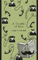
Waugh, Evelyn
A Handful of Dust
€ 14.20
Paperback / softback
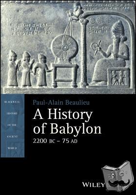
Beaulieu, Paul-Alain
A History of Babylon, 2200 BC - AD 75
€ 42.65
Paperback / softback
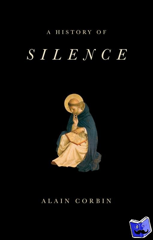
Corbin, Alain
A History of Silence
€ 21.95
Paperback / softback
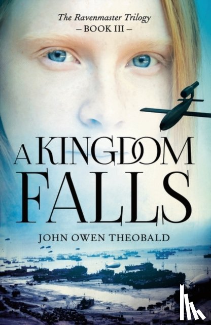
Theobald, John Owen
A Kingdom Falls
€ 12.40
Paperback / softback
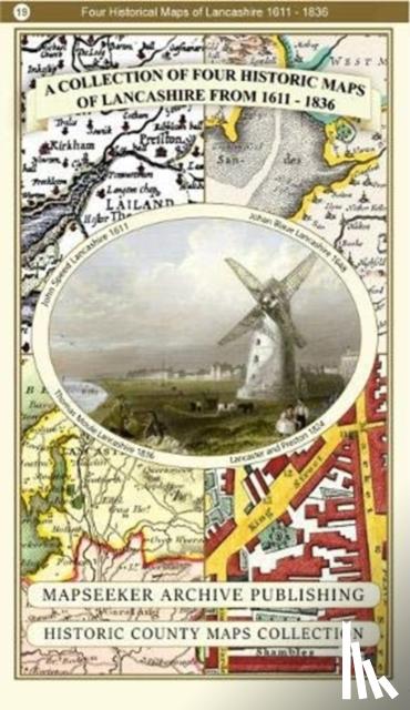
A Lancashire 1611 - 1836 - Fold Up Map that features a collection of Four Historic Maps, John Speed's County Map 1611, Johan Blaeu's County Map of 1648, Thomas Moules County Map of 1836 and a Plan of Lancaster and Preston from 1824. The maps also fe