Stel een vraag
Ik heb een vraag over het boek:
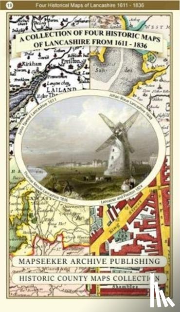
‘A Lancashire 1611 - 1836 - Fold Up Map that features a collection of Four Historic Maps, John Speed's County Map 1611, Johan Blaeu's County Map of 1648, Thomas Moules County Map of 1836 and a Plan of Lancaster and Preston from 1824. The maps also fe - ’.
Vul het onderstaande formulier in.
We zullen zo spoedig mogelijk antwoorden.