Resultaat

Paperback
Teeuwen, Bert
5S werkplekorganisatie
€ 29.00
Paperback
Naude, Johan, Plessier, Florence
Becoming a Leader-Coach
€ 25.60
Paperback
Simons, Johan
Boek 22
€ 23.30
Paperback
Zwart, Johan van der
Building for a better hospital
€ 47.50
Topografische kaarten
Mapseeker Publishing Ltd.
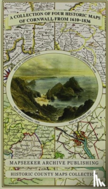
Cornwall 1611 - 1836 - Fold Up Map that features a collection of Four Historic Maps, John Speed's County Map 1611, Johan Blaeu's County Map of 1648, Thomas Moules County Map of 1836 and Robert Dawson's Reform Act Plan of Truro 1831. The maps are sur
€ 29.50
Paperback
Los, Antonia
Daar achter
€ 23.14
Paperback
Bijman, Robert
De Anumoria initiatie
€ 24.95
Paperback
Stuffmakers
De reisgenoot
€ 24.95
Topografische kaarten
Mapseeker Publishing Ltd.
Derbyshire 1610 - 1836 - Fold Up Map that features a collection of Four Historic Maps, John Speed's County Map 1611, Johan Blaeu's County Map of 1648, Thomas Moules County Map of 1836 and Cole and Roper's Plan of the City of Derby 1806. The map's al
€ 29.50
Topografische kaarten
Mapseeker Publishing Ltd.
Devon 1611 - 1836 - Fold Up Map that features a collection of Four Historic Maps, John Speed's County Map 1611, Johan Blaeu's County Map of 1648, Thomas Moules County Map of 1836 and a Plan of Exeter 1851 by John Tallis.
€ 29.50
Hardback
Turi, Johan
Erzählung vom Leben der Lappen
€ 27.50
Topografische kaarten
Mapseeker Publishing Ltd.
Essex 1610 - 1836 - Fold Up Map that features a collection of Four Historic Maps, John Speed's County Map 1610, Johan Blaeu's County Map of 1648, Thomas Moules County Map of 1836 and a Plan of Colchester 1805 by Cole and Roper.
€ 29.50
Topografische kaarten
Mapseeker Publishing Ltd.
Gloucestershire 1611 - 1836 - Fold Up Map that features a collection of Four Historic Maps, John Speed's County Map 1611, Johan Blaeu's County Map of 1648, Thomas Moules County Map of 1836 and a Plan of Gloucester 1805 by Cole and Roper. The maps al
€ 29.50
Hardback
Groenweegje
€ 24.90
Topografische kaarten
Mapseeker Publishing Ltd.
Hampshire 1610 - 1836 - Fold Up Map that features a collection of Four Historic Maps, John Speed's County Map 1611, Johan Blaeu's County Map of 1648, Thomas Moules County Map of 1836 and a Plan of Winchester 1805 by Cole and Roper. The maps also fea
€ 29.50
Gebonden
Idema, Johan
How to visit an art museum
€ 22.95
Topografische kaarten
Mapseeker Publishing Ltd.
Kent County 1611 - 1836 - Fold Up Map that features a collection of Four Historic Maps, John Speed's County Map 1611, Johan Blaeu's County Map of 1648, Thomas Moules County Map of 1836 and a Plan of Canterbury 1806 by Cole and Roper.
€ 29.50
Hardback
Deblaere, Johan, Gommers, Geert
Kippen in de tuin
€ 24.95
Hardback
Achdé, Morris, Guylouis, Claude, Dom Dom
Lucky Luke 92 - Ein Menü mit blauen Bohnen
€ 21.20
Paperback / softback
Hellsten, Johan
Mastering Opening Strategy
€ 27.00
Hardback
Kimenai, Peter
NEDERLANDSE MARINESCHEPEN
€ 32.95
Boekstra