Stel een vraag
Ik heb een vraag over het boek:
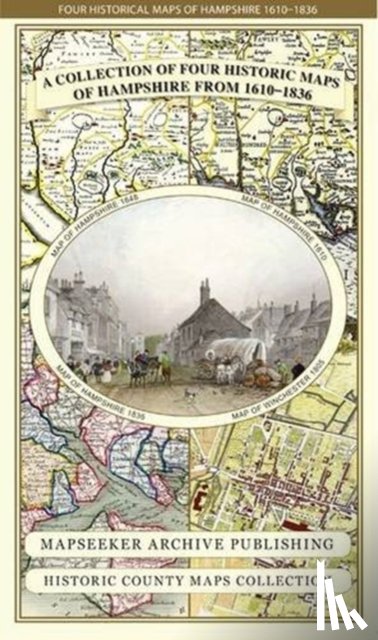
‘Hampshire 1610 - 1836 - Fold Up Map that features a collection of Four Historic Maps, John Speed's County Map 1611, Johan Blaeu's County Map of 1648, Thomas Moules County Map of 1836 and a Plan of Winchester 1805 by Cole and Roper. The maps also fea - Mapseeker Publishing Ltd.’.
Vul het onderstaande formulier in.
We zullen zo spoedig mogelijk antwoorden.