A Cheshire 1611 - 1840 - Fold Up Map that features a collection of Four Historic Maps, John Speed's County Map 1611, Johan Blaeu's County Map of 1648, Thomas Moules County Map of 1840 and Cole and Roper's Plan of the City of Chester 1805.
€ 29.00
Hardback
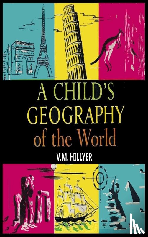
Hillyer, V M
A Child's Geography of the World
€ 42.60
Paperback
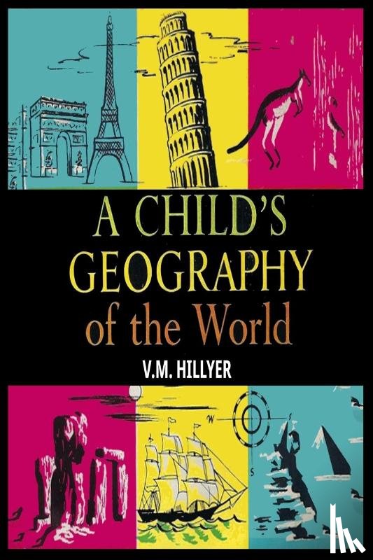
Hillyer, V M
A Child's Geography of the World
€ 32.50
Paperback / softback
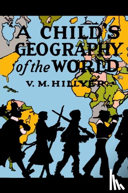
Hillyer, V M
A Child's Geography of the World
€ 34.75
Paperback / softback
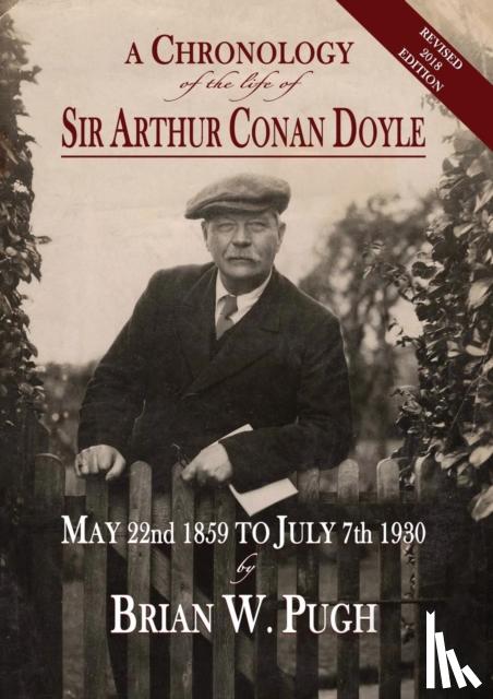
Pugh, Brian W
A Chronology of the Life of Sir Arthur Conan Doyle - Revised 2018 Edition
€ 50.60
Paperback / softback
A Companion to Greeks Across the Ancient World
€ 59.55
Gebonden
Shirihai, Hadoram
A Complete Guide to Antarctic Wildlife
€ 56.00
Paperback
Henze, Eric
A Complete Guide to the Grand Circle National Parks
€ 29.00
Paperback / softback
Phillips, Jr, Rahn Phillips, Carla
A Concise History of Spain
€ 35.25
Paperback / softback
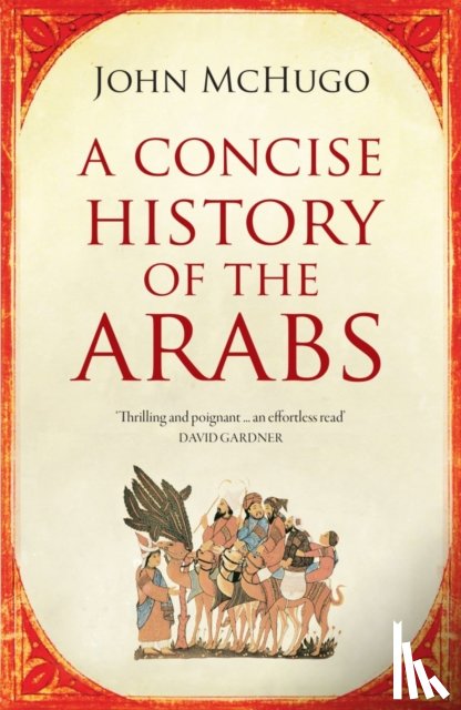
McHugo, John
A Concise History of the Arabs
€ 19.95
Paperback
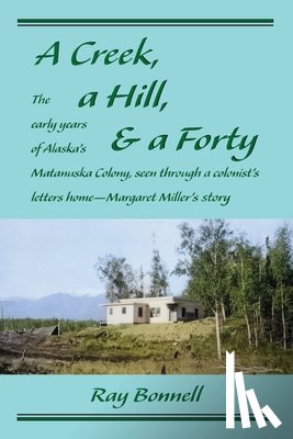
Bonnell, Ray
A Creek, a Hill, & a Forty
€ 29.10
Paperback / softback
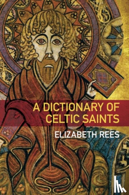
Rees, Elizabeth
A Dictionary of Celtic Saints
€ 26.50
Paperback / softback
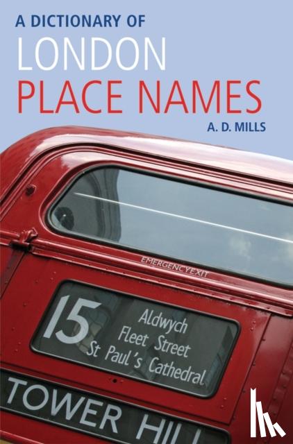
Mills, A. D. (Emeritus Reader in English
A Dictionary of London Place-Names
€ 19.95
Paperback
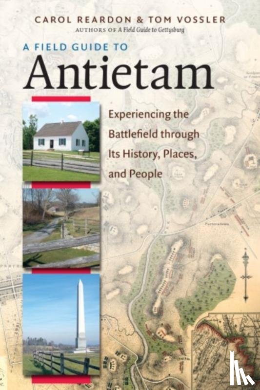
Reardon, Carol, Vossler, Tom
A Field Guide to Antietam
€ 29.00
Gebonden
Sicard, Tristan
A Field Guide to Cheese
€ 26.80
Paperback / softback
Maiklem, Lara
A Field Guide to Larking
€ 21.60
Paperback
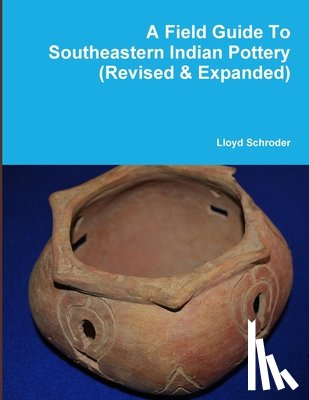
Schroder, Lloyd
A Field Guide to Southeastern Indian Pottery (Revised & Expanded)