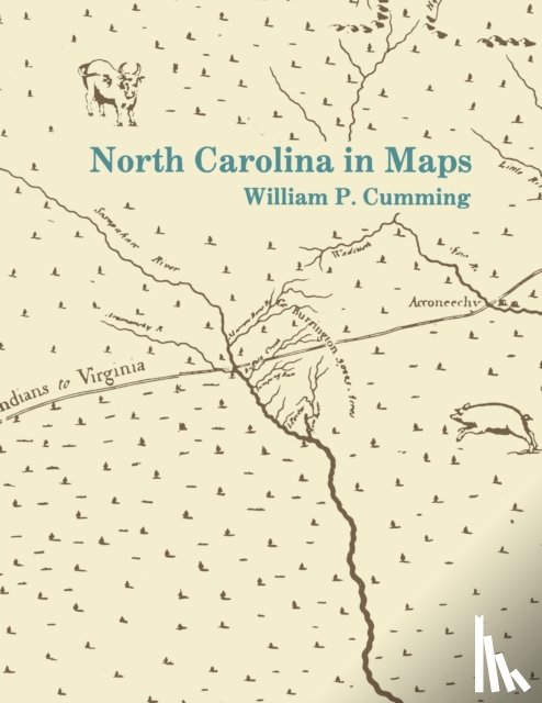
Presents a detailed introduction to each of the following maps: White 1585 MS, White-DeBry 1590, Mercator-Hondius 1606, Comberford 1657 MS, Ogilby-Moxon ca. 1672, Moseley 1733, Collet 1770, Mouzon 1775, Price-Strother 1808, MacRae-Brazier 1833, Colton 1861, Bachmann 1861, U.S. Coast Survey 1865, Kerr-Cain 1882, and Post Route 1896.
Ik heb een vraag over het boek:
‘North Carolina in Maps - Cumming, William P.’.
Vul het onderstaande formulier in.
We zullen zo spoedig mogelijk antwoorden.