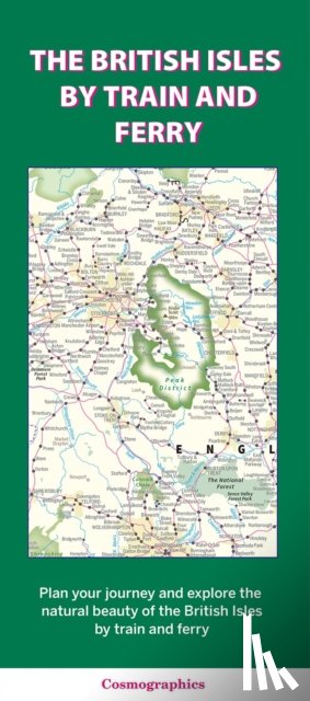
A detailed map showing how the rail network, along with ferries to more isolated areas, link to the beautiful landscape and scenery of the British Isles. Map includes National Parks, Areas of Outstanding Natural Beauty, forest and woodland areas and heritage coast. Great for planning your journey to explore the British countryside.
Ik heb een vraag over het boek:
‘The British Isles by Train and Ferry - ’.
Vul het onderstaande formulier in.
We zullen zo spoedig mogelijk antwoorden.