Mapping, Monitoring, and Modeling Land and Water Resources
Advanced Techniques Using Open Source Software
Omschrijving
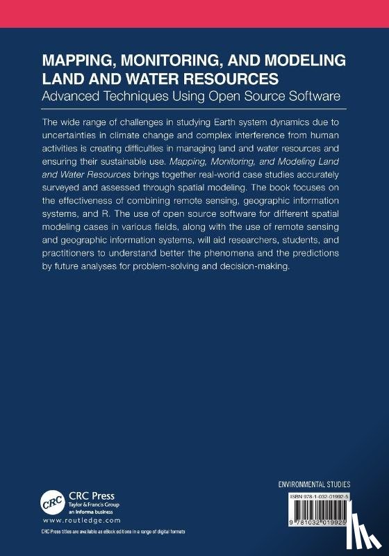
This book brings together real-world case studies accurately surveyed and assessed through spatial modeling and focuses on the effectiveness of combining remote sensing, GIS, and R. The use of open source software, remote sensing, and GIS, help researchers and practitioners to better understand the phenomena and the prediction of future analyses.
Ik heb een vraag over het boek:
‘Mapping, Monitoring, and Modeling Land and Water Resources - ’.
Vul het onderstaande formulier in.
We zullen zo spoedig mogelijk antwoorden.