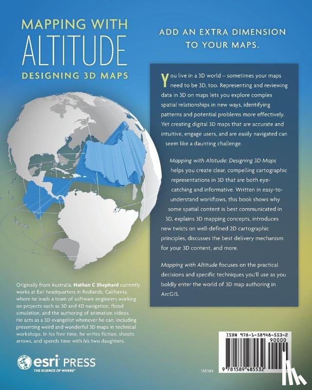
Helps you deliver clear, compelling cartographic representations in 3D that are both eye-catching and informative. Understand scale, surfaces, base heights, texturing, and lighting models. Discover new twists on well-defined 2D cartographic principles, such as size, colour, and text. Consider ways to convey time.
Ik heb een vraag over het boek:
‘Mapping with Altitude - Shephard, Nathan C’.
Vul het onderstaande formulier in.
We zullen zo spoedig mogelijk antwoorden.