Stel een vraag
Ik heb een vraag over het boek:
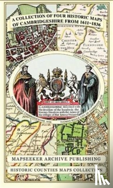
‘Cambridgeshire 1611 - 1836 - Fold Up Map that includes Four Historic Maps of Cambridgeshire, John Speed's County Map of 1611, Johan Blaeu's County Map of 1648, Thomas Moule's County Map of 1836 and Thomas Moule's Plan of Cambridge City 1836 - Mapseeker Publishing Ltd.’.
Vul het onderstaande formulier in.
We zullen zo spoedig mogelijk antwoorden.