Stel een vraag
Ik heb een vraag over het boek:
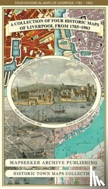
‘Liverpool 1785-1903 - Fold up Map that includes Charles Eyes detailed Plan of the Township of Liverpool 1785, Cole and Ropers Plan of 1807, Bartholomew's Plan of 1903 and A Birds Eye View of Liverpool 1866. - Mapseeker Publishing Ltd.’.
Vul het onderstaande formulier in.
We zullen zo spoedig mogelijk antwoorden.