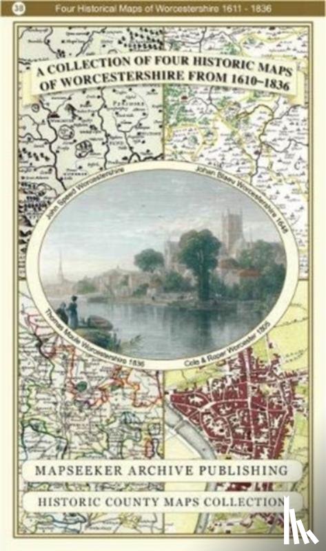
Worcestershire 1610 - 1836 - Fold Up Map that features a collection of Four Historic Maps, John Speed's County Map 1610, Johan Blaeu's County Map of 1648, Thomas Moules County Map of 1836 and Cole and Roper's Plan of the City of Worcester 1805. The

Omschrijving

Er is geen omschrijving gevonden.

€ 29,50
Paperback / softback
 
Gratis verzending vanaf
€ 19,95 binnen Nederland
Schrijver
Titel
Worcestershire 1610 - 1836 - Fold Up Map that features a collection of Four Historic Maps, John Speed's County Map 1610, Johan Blaeu's County Map of 1648, Thomas Moules County Map of 1836 and Cole and Roper's Plan of the City of Worcester 1805. The
Uitgever
Historical Images Ltd
Jaar
2018
Taal
Engels
Pagina's
1
Gewicht
104 gr
EAN
9781844918331
Afmetingen
227 x 134 x 53 mm
Bindwijze
Paperback / softback

U ontvangt bij ons altijd de laatste druk!


Rubrieken

Boekstra