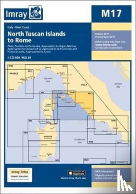
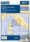
On this 2017 the latest known depths have been applied. Harbour developments at Civitavecchia and Fiumicino are included as is the restricted area on the approach to Anzio. The Corsican Channel TSS is shown, as are the extents of Marine Protected Areas on this chart. The chart specification has been improved to show coloured light flashes.
Ik heb een vraag over het boek:
‘M17 North Tuscan Islands to Rome - Imray M Series’.
Vul het onderstaande formulier in.
We zullen zo spoedig mogelijk antwoorden.