Yorkshire Dales

Map for Touring and Planning

Omschrijving

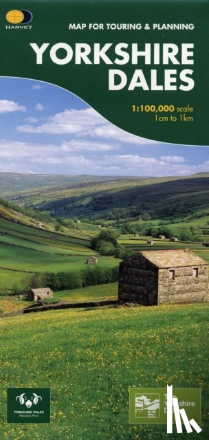
This map provides a colourful overview of the Dales - famous Swaledale, Wensleydale, Wharfedale & Nidderdale. Colour shading makes it easy to pick out the hills & dales. Driveable roads are shown & steep hills marked. There is an introduction to each area, street plans of towns & lots of information on places to visit.
€ 20,85
Topografische kaarten
 
Gratis verzending vanaf
€ 19,95 binnen Nederland
Schrijver
Titel
Yorkshire Dales
Uitgever
Harvey Map Services Ltd
Jaar
2007
Taal
Engels
Pagina's
1
Gewicht
80 gr
EAN
9781851374335
Afmetingen
972 x 700 x 12 mm
Bindwijze
Topografische kaarten

U ontvangt bij ons altijd de laatste druk!


Rubrieken

Boekstra