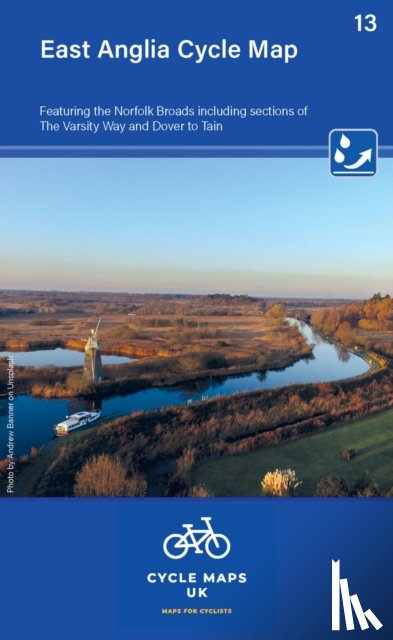
East Anglia Cycle Map featuring The Norfolk Broads
Including sections of The Varsity Way and Dover to Tain
Omschrijving
The maps are all produced at a scale of 1:100 000 showing important features including the National cycle Network. Sections on road, off road and traffic free are all shown in differing colours along with their route number.
Ik heb een vraag over het boek:
‘East Anglia Cycle Map featuring The Norfolk Broads - Cycle Maps UK’.
Vul het onderstaande formulier in.
We zullen zo spoedig mogelijk antwoorden.