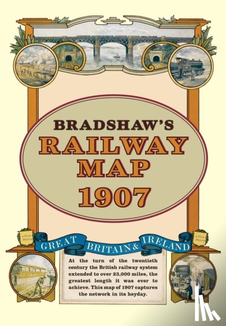
Bradshaw's Railway Folded Map 1907

Bradshaw, George

Omschrijving

At the turn of the 20th century the rail network extended to over 23,000 miles, very nearly the circumference of the world - the greatest length it was ever to achieve. Some urban routes had closed and later, hundreds of rural lines and stations succumbed to the Beeching axe. This title shows the network in its heyday before the decline commenced.
€ 15,45
Topografische kaarten
 
Gratis verzending vanaf
€ 19,95 binnen Nederland
Schrijver
Bradshaw, George
Titel
Bradshaw's Railway Folded Map 1907
Uitgever
Bloomsbury Publishing PLC
Jaar
2011
Taal
Engels
Pagina's
Gewicht
124 gr
EAN
9781908402134
Afmetingen
212 x 152 x 12 mm
Bindwijze
Topografische kaarten

U ontvangt bij ons altijd de laatste druk!


Rubrieken

Boekstra