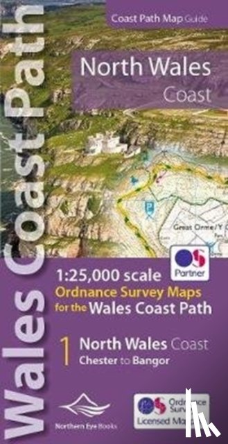
North Wales Coast Path Map

1:25,000 scale Ordnance Survey mapping for the Wales Coast Path

Omschrijving

One of seven handy, lightweight, pocket sized map bookscovering the whole of the 870 mile/1400 kilometre Wales Coast Path. This volume covers North Wales from Chester to Bangor and includes enhanced large scale (1:25,000) Ordnance Survey mapping in a handy atlas format.
€ 14,95
Paperback / softback
 
Gratis verzending vanaf
€ 19,95 binnen Nederland
Schrijver
Titel
North Wales Coast Path Map
Uitgever
Northern Eye Books
Jaar
2022
Taal
Engels
Pagina's
48
Gewicht
80 gr
EAN
9781908632586
Afmetingen
215 x 107 x 7 mm
Bindwijze
Paperback / softback

U ontvangt bij ons altijd de laatste druk!


Rubrieken

Boekstra