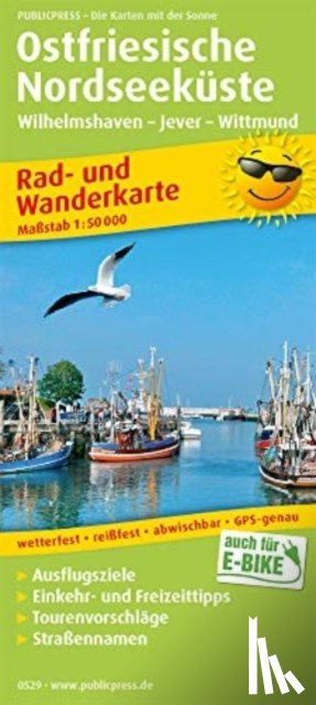
East Frisian North Sea coast, Wilhelmshaven - Jever - Wittmund, cycling and hiking map 1:50,000
Rad- und Wanderkarte mit Ausflugszielen, Straßennamen, Einkehr- und Freizeittipps, wetterfest, reissfest, abwischbar, GPS-genau
Omschrijving
The cycling and hiking map can be a recommended companion, especially during the summer holiday season, as the map provides comprehensive information about the East Friesland region between Wilhelmshaven and Bensersiel.
Ik heb een vraag over het boek:
‘East Frisian North Sea coast, Wilhelmshaven - Jever - Wittmund, cycling and hiking map 1:50,000 - ’.
Vul het onderstaande formulier in.
We zullen zo spoedig mogelijk antwoorden.