A Cheshire 1611 - 1840 - Fold Up Map that features a collection of Four Historic Maps, John Speed's County Map 1611, Johan Blaeu's County Map of 1648, Thomas Moules County Map of 1840 and Cole and Roper's Plan of the City of Chester 1805.
€ 29.50
Paperback / softback
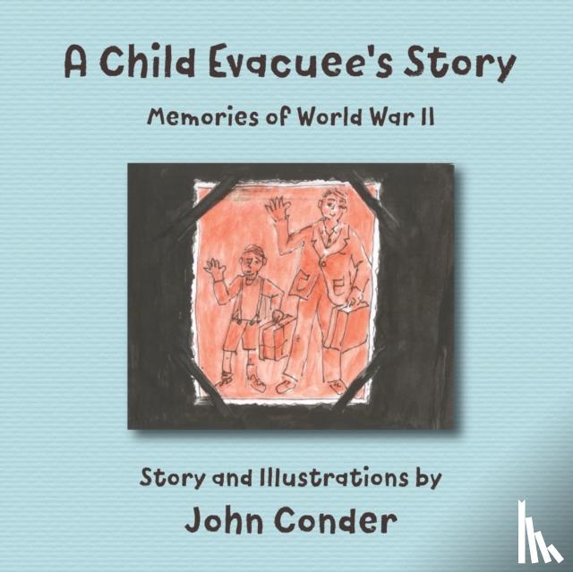
Conder, John
A Child Evacuee's Story
€ 27.75
Paperback / softback
McQueen, Bert
A Civil War Family
€ 20.20
Paperback / softback
Macfarlane, John
A Clarinet Almanac
€ 23.50
Paperback / softback
Boardman, Sir John
A Classical Archaeologist’s Life: The Story so Far
€ 36.75
Paperback / softback
Rosengren, John
A Clean Heart
€ 20.45
Paperback / softback
Stallard, Paul (Consultant Clinical Psychologist
A Clinician's Guide to CBT for Children to Young Adults