Resultaat

Paperback / softback
A Cheshire 1611 - 1840 - Fold Up Map that features a collection of Four Historic Maps, John Speed's County Map 1611, Johan Blaeu's County Map of 1648, Thomas Moules County Map of 1840 and Cole and Roper's Plan of the City of Chester 1805.
€ 29.50
Paperback
Thorpe, Natalie
A Jackdaw's Feather
€ 28.20
Paperback
Thorpe, Natalie
A Mage's Throne
€ 30.00
Gebonden
Roper, Michael
Afterlives of War
€ 34.85
Paperback
Holton, Chuck, Roper, Gayle
Allah's Fire
€ 27.50
Paperback
Roper, Jon
American Politics
€ 16.65
Gebonden
Roper, Allen G
Ancient Eugenics, The Arnold Prize Essay for 1913
€ 31.90
Paperback / softback
Applying the Roper-Logan-Tierney Model in Practice
€ 49.65
Paperback / softback
Roper, Matt
Before The Night Comes
€ 15.45
Paperback
Warren, Christine
Big Bad Wolf
€ 26.90
Paperback / softback
Roper, Stuart, Fill, Chris
Corporate Reputation, Brand and Communication
€ 88.80
Gebonden
Gibbon, Edward
Decline and Fall of the Roman Empire: Vols 4-6
€ 66.00
Topografische kaarten
Mapseeker Publishing Ltd.
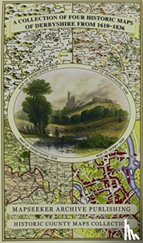
Derbyshire 1610 - 1836 - Fold Up Map that features a collection of Four Historic Maps, John Speed's County Map 1611, Johan Blaeu's County Map of 1648, Thomas Moules County Map of 1836 and Cole and Roper's Plan of the City of Derby 1806. The map's al
€ 29.50
Topografische kaarten
Mapseeker Publishing Ltd.
Essex 1610 - 1836 - Fold Up Map that features a collection of Four Historic Maps, John Speed's County Map 1610, Johan Blaeu's County Map of 1648, Thomas Moules County Map of 1836 and a Plan of Colchester 1805 by Cole and Roper.
€ 29.50
Paperback
Roper, Jeff
Following Wisdom, Leading Wisely
€ 39.20
Topografische kaarten
Mapseeker Publishing Ltd.
Gloucestershire 1611 - 1836 - Fold Up Map that features a collection of Four Historic Maps, John Speed's County Map 1611, Johan Blaeu's County Map of 1648, Thomas Moules County Map of 1836 and a Plan of Gloucester 1805 by Cole and Roper. The maps al
€ 29.50
Topografische kaarten
Mapseeker Publishing Ltd.
Hampshire 1610 - 1836 - Fold Up Map that features a collection of Four Historic Maps, John Speed's County Map 1611, Johan Blaeu's County Map of 1648, Thomas Moules County Map of 1836 and a Plan of Winchester 1805 by Cole and Roper. The maps also fea
€ 29.50
Hardback
Roper, Danielle
Hemispheric Blackface
€ 126.10
Paperback / softback
Roper, Danielle
Hemispheric Blackface
€ 35.05
Paperback / softback
Roper, Matt
Highway to Hell
€ 14.45
Paperback / softback
Hugh Trevor-Roper
€ 34.90
Gebonden
Fredrickson, John, Roper, Dr John
Kansas City B-25 Factory
€ 30.85
Topografische kaarten
Mapseeker Publishing Ltd.
Kent County 1611 - 1836 - Fold Up Map that features a collection of Four Historic Maps, John Speed's County Map 1611, Johan Blaeu's County Map of 1648, Thomas Moules County Map of 1836 and a Plan of Canterbury 1806 by Cole and Roper.
€ 29.50
Paperback / softback
Roper, Lyndal
Living I Was Your Plague
€ 27.90
Paperback / softback
Roper, Lyndal
Martin Luther
€ 28.50
Hardback
Davis, Walter Goodwin, Roberts, Gary Boyd
Massachusetts and Maine Families in the Ancestry of Walter Goodwin Davis (1885-1966)
€ 89.10
Hardback
Roper, Dan
Medieval Book Of Psalms
€ 46.60
Paperback / softback
One Hundred Letters From Hugh Trevor-Roper
€ 30.50
Pagina: 1 van de 3
2 Laatste
Boekstra